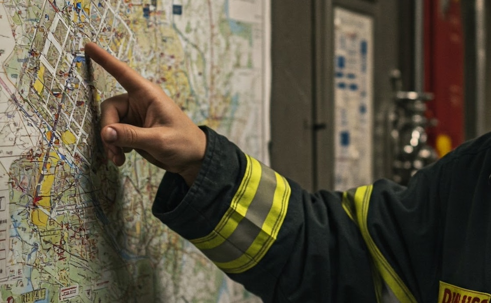
NERIS incident locations are an absolute feast of location detail.
Mapping/location services like Google Maps have a lot of great address detail, but they really don’t cut it for “firefighting locations”. Fire incidents happen “up the hill”, and “behind the reservoir”, at campsite #32, in room #509 on the 5th floor of the hotel, or section 10, row 20, seat 12 of the stadium, and much more. Mapping services don’t even support mile markers.
NFIRS locations were complicated enough with mile markers, intersection, directions (e.g. behind the reservoir), and US National Grid (its choice over latitude / longitude), as well as simple street addresses. That said, they still located a place, but not so much a place within a place. Effective dispatch requires precise locations, e.g. room #509, row #45, seat #2349 and these were all lacking, for starters.
NERIS locations are based upon the Next Generation 911 (NG9-1-1) United States Civic Location Data Exchange Format (CLDXF-US) Standard, and even extend it a little further still (e.g. with cross streets). In short, NERIS has a plethora of location specification information.
For dispatch, it certainly helps with locating the scene quickly, for after the incident reporting perhaps a little less so. Still, the comparison of “where dispatched to” and “where located” is valuable data.
See the NERIS specification for more information on the NERIS location fields. Here are some example field values, in case they make things easier.
Note: Just because these new fields exist, does NOT mean you have to use them all, every time. Some only make sense in certain circumstances, and when you arrive on a simple address, then the simple address fields are all that are needed.
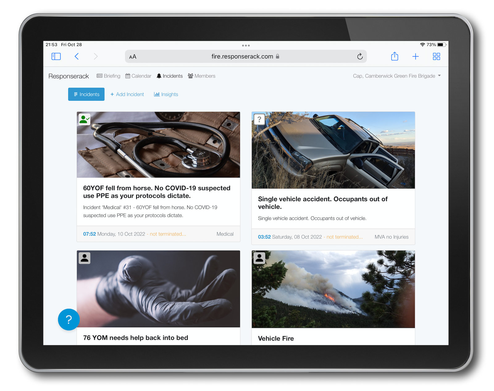
Sign up to hear more from Responserack on Volunteer Fire Departments, USFA NERIS and USFA NFIRS.
Responserack provides services for volunteer fire departments; member information services, incident reporting, NFIRS and so much more.